WCF SECTION PRESS RELEASE #25-14
TAMIAMI ARC FOSTERS CONTACT FROM ELEMENTARY SCHOOL WITH INTERNATIONAL SPACE STATION
In a momentous achievement for Pine View School for the Gifted (PVS) in Osprey, students and faculty made a successful live contact with astronauts aboard the International Space Station (ISS) on Tuesday, January 28, 2025. This historic event marks a significant milestone in the school’s ongoing commitment to inspiring the next generation of scientists, engineers, and explorers. It is the first time that any Sarasota County school has been selected for this honor
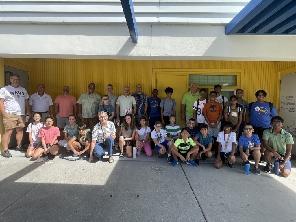
The Tamiami Amateur Radio Club (TARC) in Venice partnered with PVS to provide radios, antennas, and skilled amateur radio operators to facilitate this contact with the ISS. Steve Phillips NS4P ran the radio making timely doppler shift frequency changes as the ISS passed overhead and Brain Darley KM4YHZ from the Fort Myers Amateur Radio Club operated the ground station antenna tracking system that he provided for making the contact. Paul Nienaber KN4BAR and Roger McEntarfer N9RM put in a lot of preparation to make this operation a success.
The students, along with their STEM teachers had the rare opportunity to speak directly with astronaut Sunita Lyn “Suni” Williams in a live, two-way conversation. Each of the sixteen selected students had an opportunity to ask Suni a question via an amateur radio connection to the ISS and receive her answer in real time.
The event was not open to the public and took place in the school auditorium. It was attended by fellow students, faculty, parents, and invited guests. The Sarasota County School District did a live stream of the event on their YouTube channel (https://www.youtube.com/@SarasotaSchools). Video of the contact can be viewed on the school’s YouTube channel.
The school now has a dozen students and one faculty member with Technician Class Amateur Radio Operator licenses from the FCC thanks to the efforts of TARC’s VE Team. During the month of February, TARC will be working with the school to install mast poles for supporting an assortment of wire antennas. Using funds received from an ARRL Club Grant, TARC will also provide the long term loan of a complete HF station with accessories for use by the newly formed school amateur radio club, call sign W4PVS!
The information used in this press release was provided courtesy of Paul Nienaber KN4BAR.