WCF SECTION PRESS RELEASE #25-16
SKYWARN BECOMES “SKYWARN® WX-ALERT”
There is a new, fresh look coming to Amateur Radio severe weather operations in West Central and Southwest Florida. “SKYWARN® WX-Alert” will launch June 1st, 2025 on the NI4CE Repeater System with some significant changes and additions.
For the first time, severe weather operations will incorporate a unified Amateur Radio communications platform. Ham radio operators who are trained SKYWARN severe weather spotters will be able to share their reports on the NI4CE Analog and NXDN Digital systems whenever severe weather threatens their neighborhood. This unified radio platform will also be used to conduct a weekly SKYWARN WX-Alert Information Net each Tuesday evening at a new time, 7:30 PM ET. This new Net time will allow more people to fully participate.
“Ham Radio has always been an important part of the SKYWARN program”, according to Paul Toth-NB9X, President of the West Central Florida Group, Inc. “SKYWARN WX-Alert is all about keeping our neighbors safe. Severe weather knows no boundaries. Neither should the communications tools we use. That’s why an expanded, unified regional platform will now be used.”
The Tuesday evening Net, at its new time, will provide all Ham operators an upfront, advanced severe weather forecast for the week ahead. This will include storm timing and location information to help spotters prepare for possible activations. The new, earlier Net will also feature weather insights and training information to help spotters be more efficient and accurate.
The refreshed SKYWARN WX-Alert effort will employ an expanded team of Net Control operators. Each operator will be tethered to the National Weather Service staff in Ruskin via NWSChat, an advanced information tool the Weather Service uses to issue critical warnings and support information, which Net Controllers will use to file spotter reports in real time. During major weather events, including hurricanes, tropical storms and tornadic outbreaks, SKYWARN WX-Alert Team members will be geographically dispersed to optimize connectivity.
The Team is currently working on adding unified repeater coverage in Citrus and Levy Counties for all Nets and an Internet-accessible audio stream which anyone interested in current weather information will be able to access.
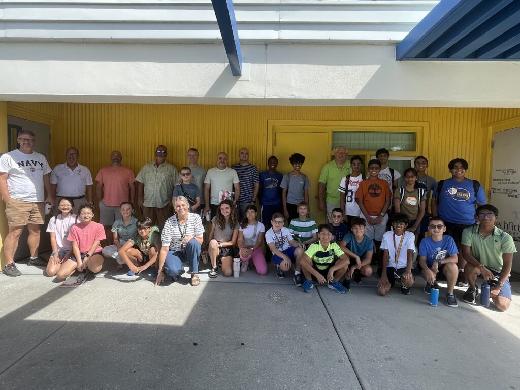
The SKYWARN WX-Alert effort is being led by Dan Noah WX4DAN, retired NWS-Ruskin Warning Coordination Meteorologist, Russ Delaney N4RTD and Paul Toth NB9X.
END OF PRESS RELEASE