WCF SECTION PRESS RELEASE #25-36
DATE AND VENUE FOR 12TH ANNUAL TECHCON SET
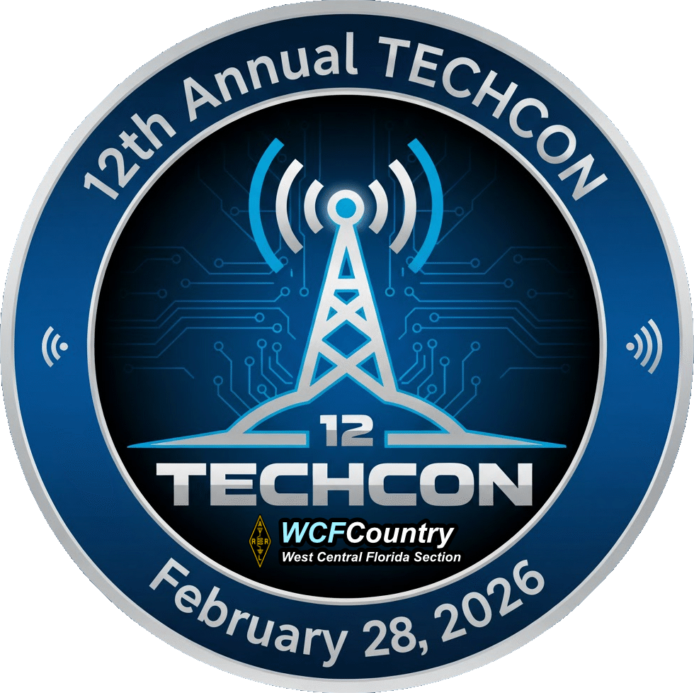
The date and venue for the 12th Annual TECHCON have been set. The date for the 12th Annual TECHCON, the Annual Technical Conference for the ARRL West Central Florida Section, is Saturday February 28, 2026. The venue for the 12th Annual TECHCON will once again be the Hillsborough County Public Safety Operations Complex, located at 9450 E. Columbus Dr., Tampa, FL 33519, on the east side of Tampa, just on the west side of I-75.
Starting with the 12th Annual TECHCON, we will no longer live stream the presentations as the logistics to do so are to difficult to manage properly. The 12th Annual TECHCON presentations will be recorded and the presenter slides will be added to it during post-production editing, once again facilitated by Russ Delaney N4RTD, one of our Assistant Section Managers. Upon completion they will be uploaded to the Section YouTube channel once they are completed. The Section YouTube channel is located at https://www.youtube.com/channel/UCFA4-HEjr-lYMFisVG_Nk5A.
Registration for the 12th Annual TECHCON is now open. We are looking for presenters for TECHCON. To have a successful TECHCON, we must have those who are willing to be presenters, especially those who have not been a presenter before. The topic of presentation is, as always, the choice of the presenter, as long as the topic is related to amateur radio.
You may register to either attend or make a presentation for TECHCON at http://arrlwcf.org/section-forms/wcftechconfregistration/. For more information about TECHCON you may go to the TECHCON webpage on the Section website at http://arrlwcf.org/wcf-special-events/wcftechconference/.