WCF SECTION SPECIAL BULLETIN #8 – 1200 – 9/02/16

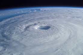
HURRICANE HERMINE MAKES LANDFALL AND EXITS FLORIDA
Tropical Storm Hermine, after becoming a Category 1 Hurricane yesterday afternoon, made landfall at approximately 0130 this morning near St. Marks, which is near the Wakulla and Jefferson County line, which is southeast of Tallahassee. At 1100, Tropical Storm Hermine was centered about 55 miles west-southwest of Savannah, Georgia and headed towards the northeast at 18 MPH. Maximum sustained winds have dropped to 50 MPH. Hermine will continue its path along the southeast United States coast and re-emerge over the western Atlantic and begin to transition into an extra tropical low.
All Hurricane Warnings have been discontinued. All Tropical Storm Warnings for the State of Florida have just been discontinued, except for Nassau County as of 1100. Flood Warning remain in effect for several WCF Section Counties due to swollen rivers and creeks from recent tropical rainfall.
Due to the lowering of all Hurricane Warnings and Tropical Storm Warnings for all the State of Florida except Nassau County which is on the border with Georgia, this will be the last WCF Section Special Bulletin for Tropical Storm Hermine.
The West Central Florida Section would like to thank all the ARES, ACS, and CERT groups that activated and did communications duty for Hermine. Everyone have a safe and happy Labor Day weekend.