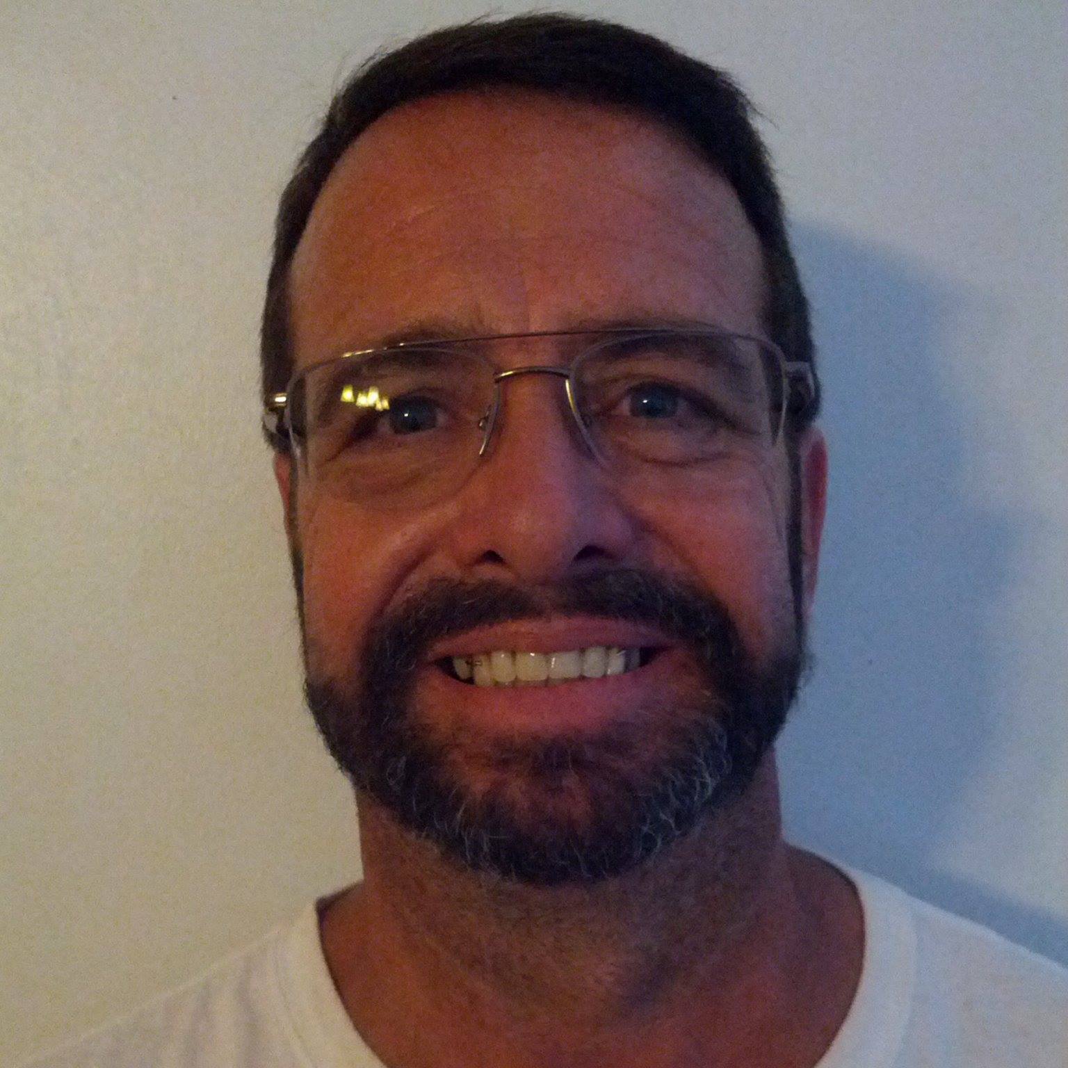
MIKE LUNSFORD KB4FHP APPOINTED AS PUBLIC INFORMATION COORDINATOR
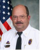
On Friday February 25, 2021, Mike Douglas W4MDD appointed Mike Lunsford KB4FHP to be ARRL Public Information Coordinator for the ARRL West Central Florida Section. Lunsford succeeds Rich Kennedy N4ESS who had served as Public Information Coordinator since 2017 and recently decided to step down.
Lunsford was first licensed at KN4ITQ in 2018, but had a long time interest in Amateur Radio working with several organizations, including CERT and ARES, in his professional career before retirement. After retirement, Lunsford’s wife encouraged him to get a hobby and amateur radio was the obvious choice. After getting his Technician class ticket Lunsford became quickly involved in the amateur radio community and became a member of the Lake Wales Radio Amateurs, Lakeland Amateur Radio Club, Polk County ARES, and a member of the ARRL In 2019, Lunsford obtained the vanity callsign of KB4FHP, inspired by his time a as a volunteer with the Florida Highway Patrol Auxiliary, upon upgrading to General class. Lunsford currently serves as an ARRL Technical Specialist for digital voice modes, and is Secretary for the Lake Wales Radio Amateurs.
Lunsford in his professional career was employed by Polk County Fire Rescue for 40 years and retired as a Battalion Chief over Special Operations, which included Office of Professional Standards, specialized response units, special events, and law enforcement liaison. Lunsford also dealt with the Public Information Office section from Polk County Fire Resuce and other agencies on a daily basis. Lunsford was the 451st person to hold a paramedic license in the State of Florida, and has maintained his license even in retirement. Lunsford also volunteered for 35 years as a Florida Highway Patrol Auxiliary State Trooper and retired with the rank of Major. Lunsford also owns a part time business, since 1981, doing electronics and two-way radio installations in law enforcement, fire, and EMS vehicles.
Lunsford had the following to say about his appointment as Public Information Coordinator, “My Civics teacher in high school impressed upon me one day with this comment. He said, ‘If you use anything your community provides…it is good civics to put something, (meaning yourself), back into that community.’ I have always tried to put something back by volunteering. The discovery of what I had been missing all these years in friendship and a ‘niche’ that all hams have, loving to talk to someone you do not know, became a daily event. Becoming a General Class ticket holder opened even more doors and developed interest in the hobby’s newer technologies. I have a broad interest in digital technologies and am excited at the potentials these have in disaster communications in the future.”
Lunsford’s other interests are participation as a coach for Special Olympics, as his son is an athlete, for Bocce, Golf, Bowling, and being active at his church, First Baptist Church in Lake Wales, as a ministry volunteer.
END OF PRESS RELEASE